FPL Flood Risk Model
Overview
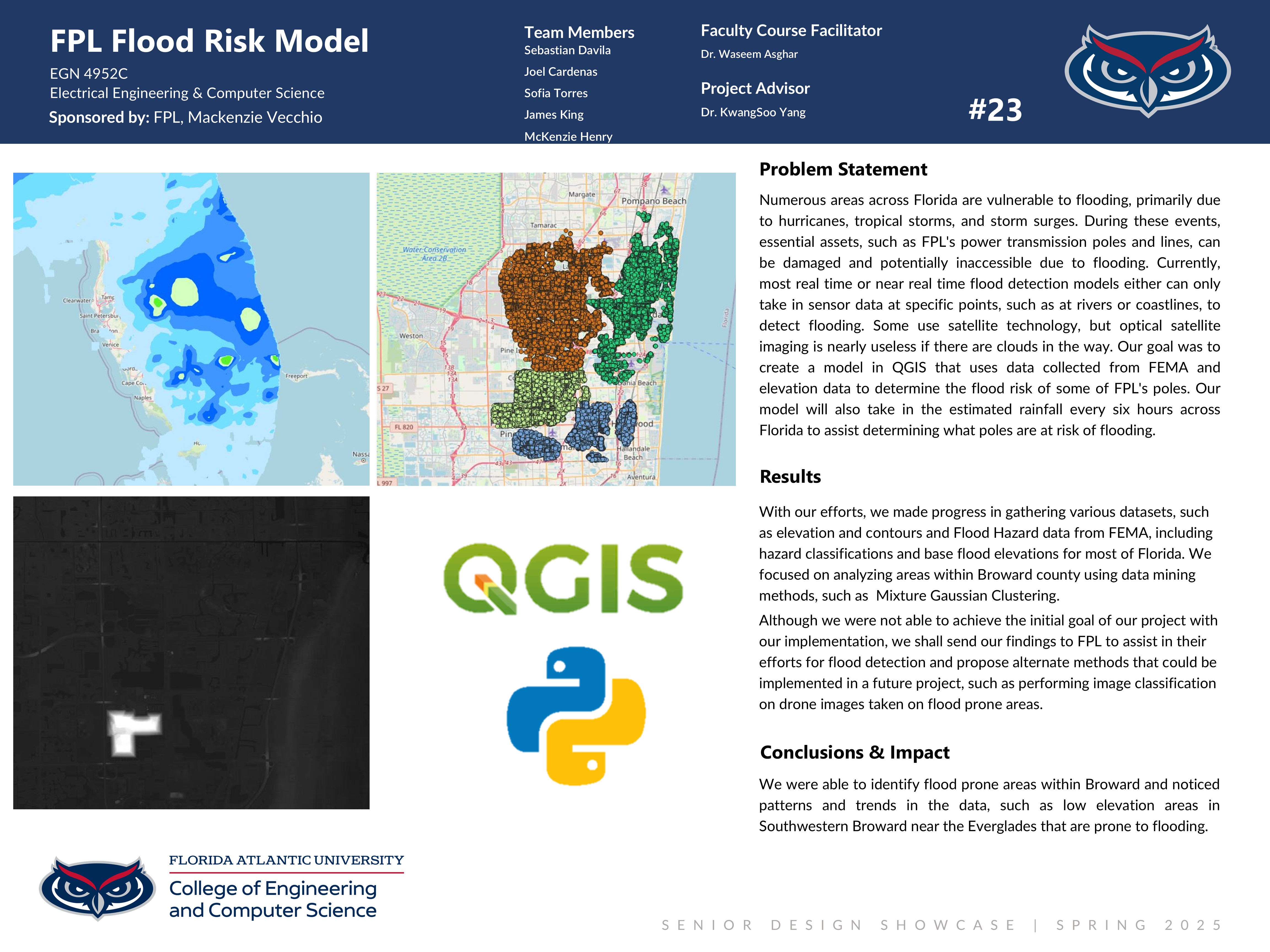
Numerous areas across Florida are vulnerable to flooding, primarily due to hurricanes, tropical storms, and storm surges. During these events, essential assets, such as FPL's power transmission poles and lines, can be damaged and potentially inaccessible due to flooding. Currently, most real time or near real time flood detection models either can only take in sensor data at specific points, such as at rivers or coastlines, to detect flooding. Some use satellite technology, but optical satellite imaging is nearly useless if there are clouds in the way. Our goal was to create a model in QGIS that uses data collected from FEMA and elevation data to determine the flood risk of some of FPL's poles. Our model will also take in the estimated rainfall every six hours across Florida to assist determining what poles are at risk of flooding.
Community Benefit
This model can be used by FPL to determine what poles are at risk of being flooded using elevation data and the flood hazard data from FEMA. It can also be used to determine what poles may not be accessible due to flooding. This information will allow FPL to make informed decisions as to what assets they should attempt to repair first in emergency situations.
Team Members
Sponsored By
Florida Power & Light; Madison Vecchio