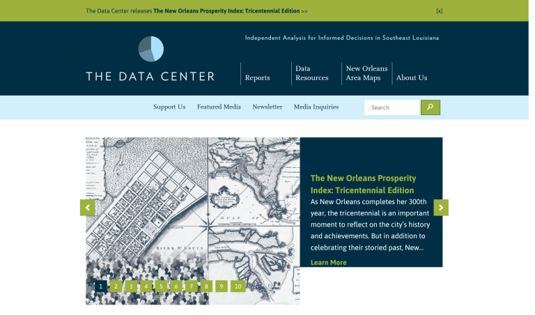
The Data Center brings data together from multiple sources, analyzing data at a 360–degree look regarding regional issues from the government, business, nonprofit, and community perspective.
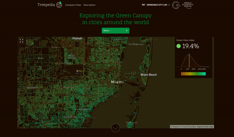
Treepedia measures the canopy cover in cities using a scaleable and universally applicable method by analyzing the amount of green at the street-level perception based on Google Street View (GSV) images.
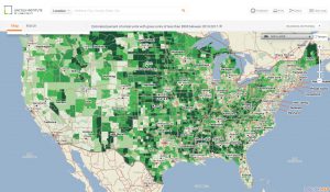
The National Walkability Index is a nationwide geographic data resource that ranks block groups according to their relative walkability. The national dataset includes walkability scores for all block groups as well as the...
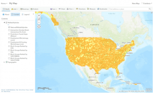
The Place Database is a data visualization tool of the United States which uses the PolicyMap platform. The tool allows users to view the latest available data for dozens of indicators—ranging from housing affordability...
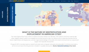
Provides research aimed to understand and describe the nature of gentrification and displacement and generate knowledge on how policy interventions and investment can respond and support more equitable development.
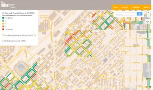
WALKscope is a mobile tool that collects data related to sidewalks, intersections, and pedestrian counts in the Denver metro area. This information will help create an inventory of pedestrian infrastructure, identify gaps,...