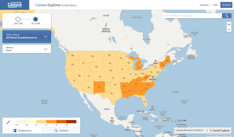
Census Explorer is the U.S. Census Bureau’s interactive map series, including Young Adults: Then and Now Edition; Population Estimate Edition; People, Education, and Income Edition; and Commuting Edition.
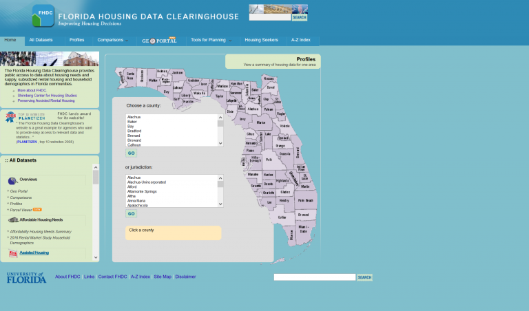
The Florida Housing Data Clearinghouse provides public access to data about housing needs and supply, subsidized rental housing and household demographics in Florida communities.
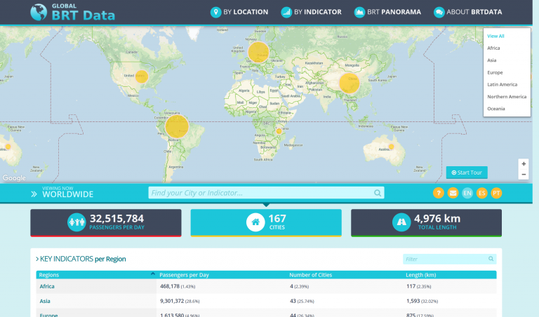
The BRTData is a public platform to share Bus Rapid Transit (BRT) and bus priority systems data.
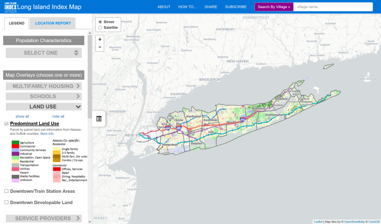
The map displays Long Island’s latest land use patterns on a property-by-property basis, small-area population and housing statistics from the Census Bureau, a district-by-district analysis of educational data, special...
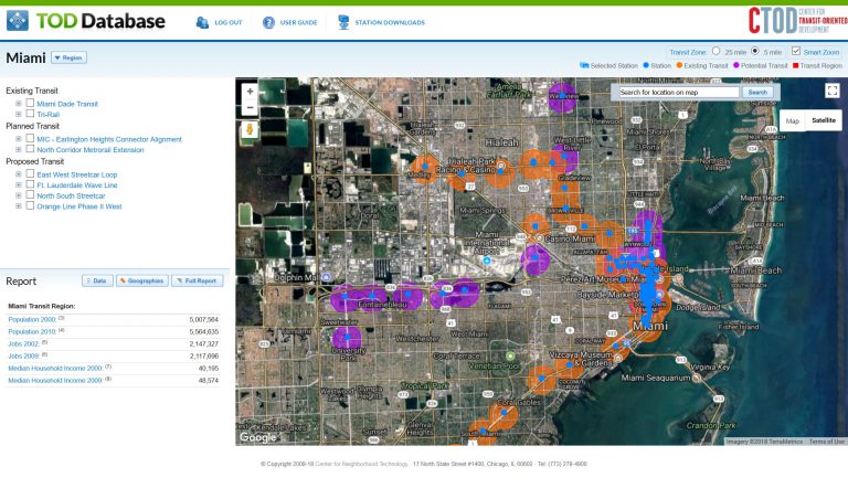
The National TOD Database is a project of the Center for Transit-Oriented Development.
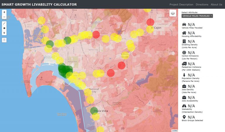
The online Smart Growth & Livability Calculator prototype is designed to help practitioners and researchers meet a variety of planning and design challenges related to corridors, station areas, and complete streets, climate...
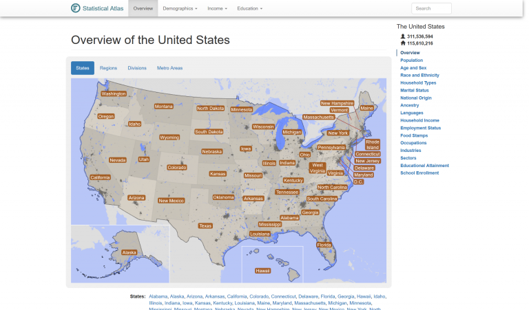
StatisticalAtlas.com provides in-depth statistical data and analysis for all of the US.
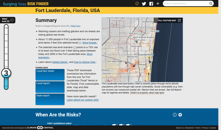
Climate Central’s Surging Seas Risk Finder is a searchable web tool designed to provide citizens, communities and policymakers in the U.S. with the tailored local information they need to understand and respond to the risks...
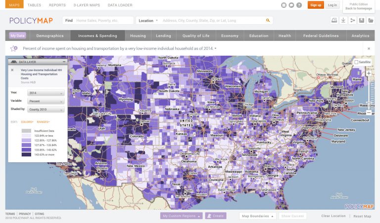
PolicyMap offers easy-to-use online mapping with data on demographics, real estate, health, jobs and more in communities across the US.
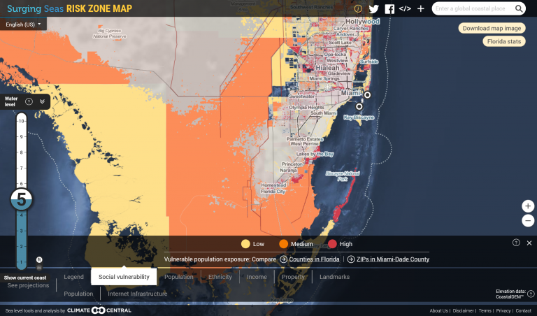
Climate Central’s Surging Seas: Risk Zone map shows areas vulnerable to near-term flooding from different combinations of sea level rise, storm surge, tides, and tsunamis, or to permanent submersion by long-term sea level...