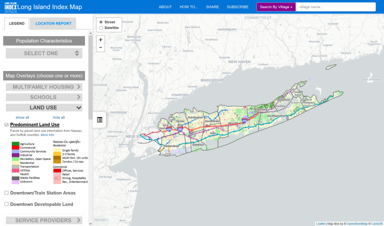
The map displays Long Island’s latest land use patterns on a property-by-property basis, small-area population and housing statistics from the Census Bureau, a district-by-district analysis of educational data, special...
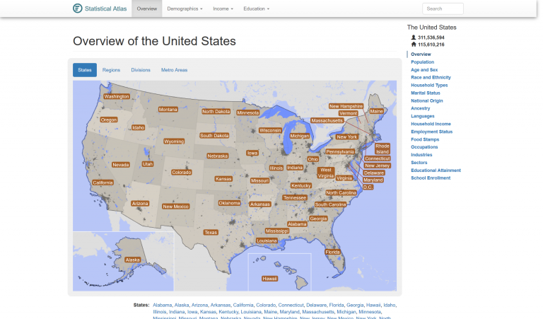
StatisticalAtlas.com provides in-depth statistical data and analysis for all of the US.
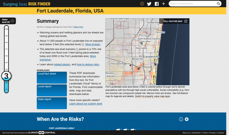
Climate Central’s Surging Seas Risk Finder is a searchable web tool designed to provide citizens, communities and policymakers in the U.S. with the tailored local information they need to understand and respond to the risks...
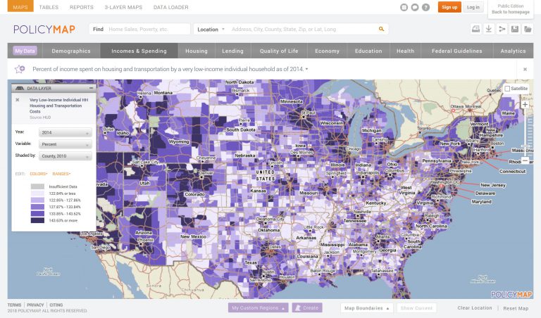
PolicyMap offers easy-to-use online mapping with data on demographics, real estate, health, jobs and more in communities across the US.
The Data Center brings data together from multiple sources, analyzing data at a 360–degree look regarding regional issues from the government, business, nonprofit, and community perspective.