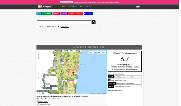
The All Transit Performance Score is a comprehensive score that looks at connectivity, access to land area and jobs, frequency of service, and the percent of commuters who use transit to travel to work.

Envision Tomorrow (ET) is an open-access scenario planning package that allows users to analyze how their community’s current growth pattern and future decisions impacting growth will impact a range of measures from public...
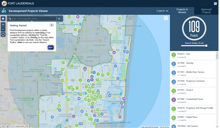
Find Development projects within a certain distance from an address by searching a Fort Lauderdale address, clicking the “Find My Location” button, or by clicking on the map within Fort Lauderdale’s city limits.
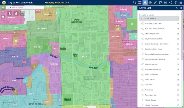
The City of Fort Lauderdale has provided this GIS feature as a public information resource.
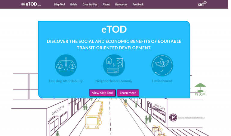
The Calculator reveals the benefits of affordable housing near transit to help developers select better sites, design unit mix, and educate the public and decision makers.
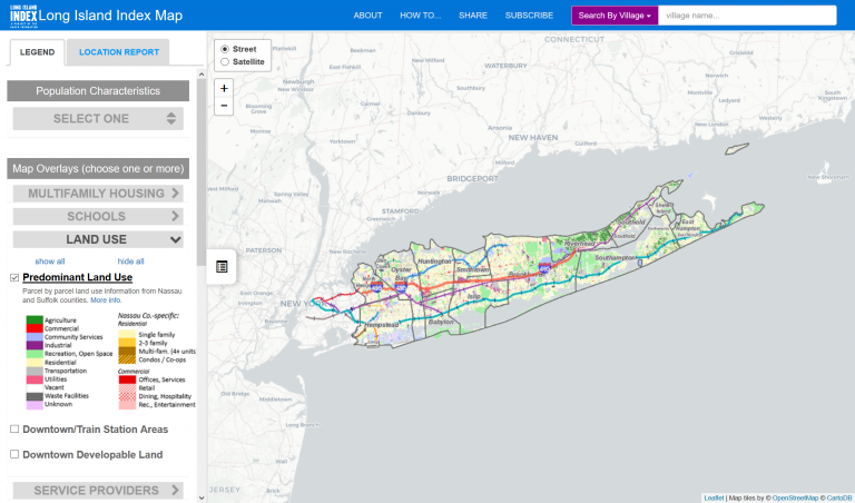
The map displays Long Island’s latest land use patterns on a property-by-property basis, small-area population and housing statistics from the Census Bureau, a district-by-district analysis of educational data, special...
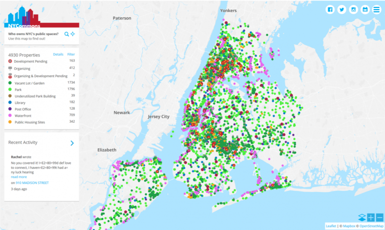
NYCommons.org helps New Yorkers impact decisions about public land and buildings in their neighborhoods.
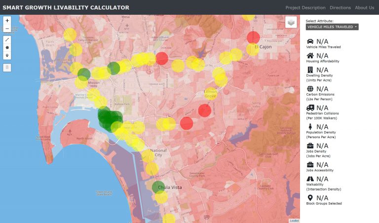
The online Smart Growth & Livability Calculator prototype is designed to help practitioners and researchers meet a variety of planning and design challenges related to corridors, station areas, and complete streets, climate...
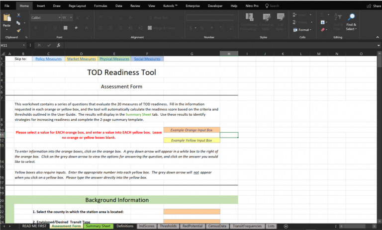
The TOD readiness tool evaluates the degree to which an existing or potential transit station area is “ready” for TOD.
