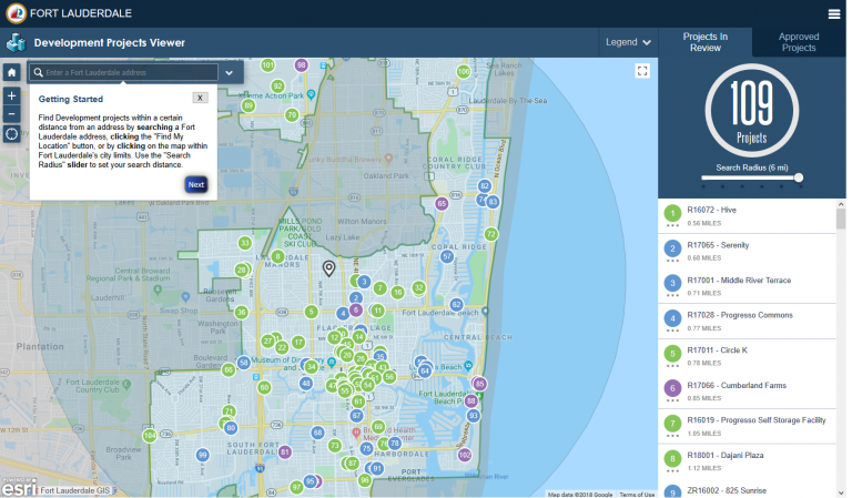
Find Development projects within a certain distance from an address by searching a Fort Lauderdale address, clicking the “Find My Location” button, or by clicking on the map within Fort Lauderdale’s city limits.
The City of Fort Lauderdale has provided this GIS feature as a public information resource.
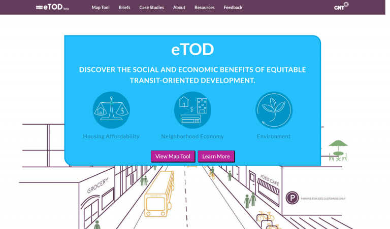
The Calculator reveals the benefits of affordable housing near transit to help developers select better sites, design unit mix, and educate the public and decision makers.
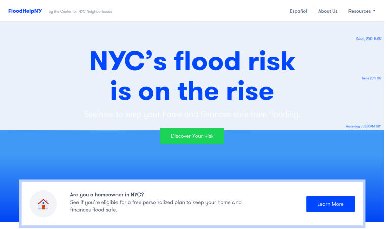
FloodHelpNY is a platform for engaging and informing New York City homeowners about how they can protect their home and finances from flooding that is expected to worsen with rising sea levels caused by climate change.

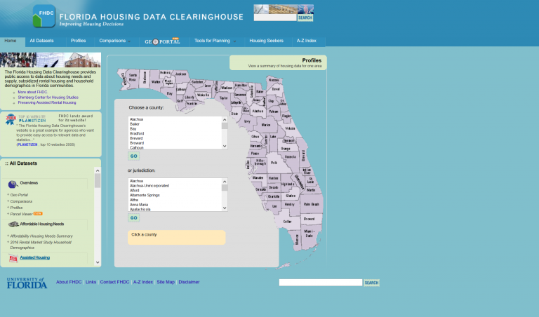
The Florida Housing Data Clearinghouse provides public access to data about housing needs and supply, subsidized rental housing and household demographics in Florida communities.

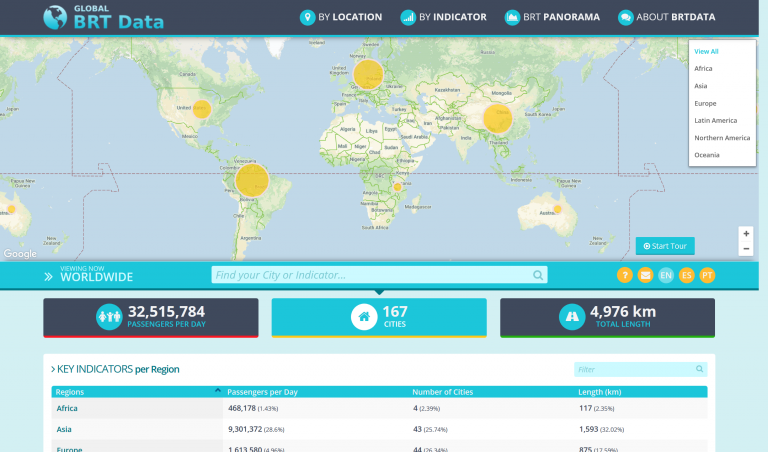
The BRTData is a public platform to share Bus Rapid Transit (BRT) and bus priority systems data.
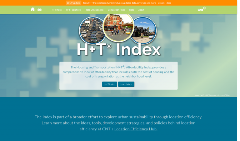
The Housing and Transportation (H+T®) Affordability Index provides a comprehensive view of affordability that includes both the cost of housing and the cost of transportation at the neighborhood level.
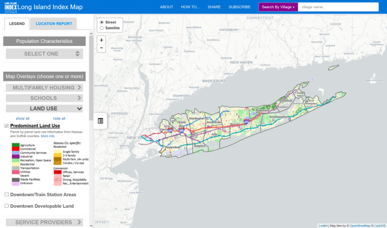
The map displays Long Island’s latest land use patterns on a property-by-property basis, small-area population and housing statistics from the Census Bureau, a district-by-district analysis of educational data, special...