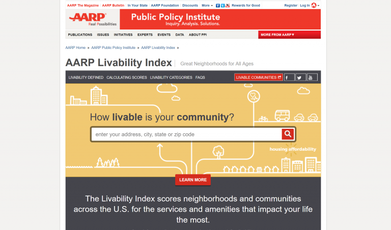
The AARP Livability Index assesses seven broad categories of community livability: housing, neighborhood, transportation, environment, health, engagement, and opportunity.
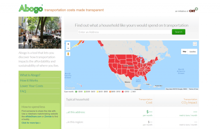
Abogo reveals how transportation impacts the affordability and sustainability of where you live.
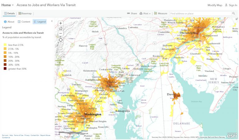
Access to Jobs and Workers Via Transit Tool.
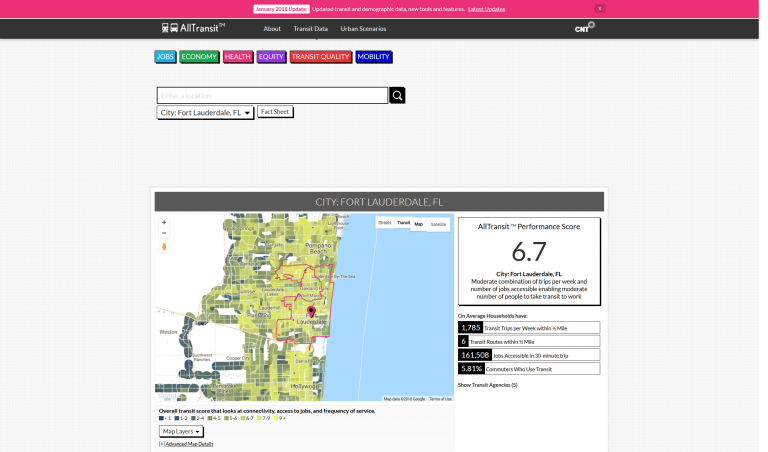
The All Transit Performance Score is a comprehensive score that looks at connectivity, access to land area and jobs, frequency of service, and the percent of commuters who use transit to travel to work.
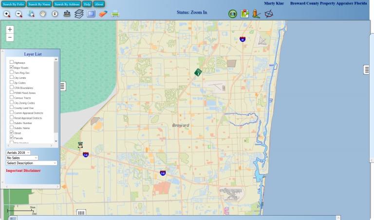
BCPA is an Online Property Records Search to research properties.
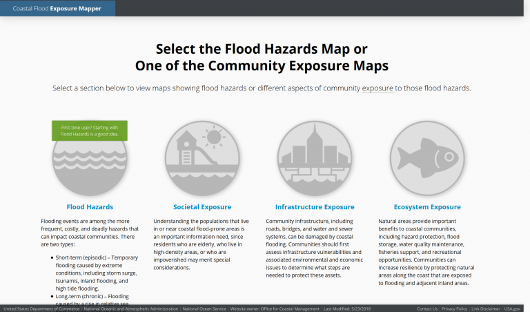
The purpose of this mapping application is to provide a preliminary look at exposure to common types of coastal flooding.
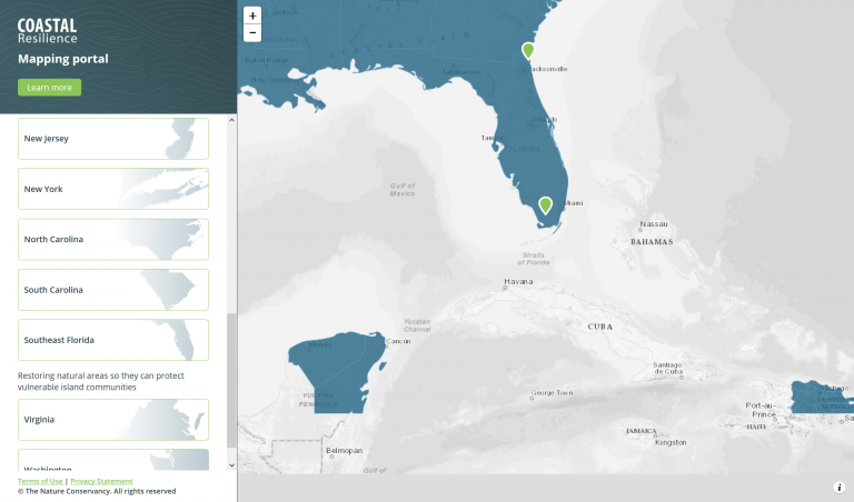
An online mapping tool customized for local and state decision makers showing potential impacts from sea level rise and coastal hazards designed to help communities develop and implement solutions that incorporate ecosystem-based...
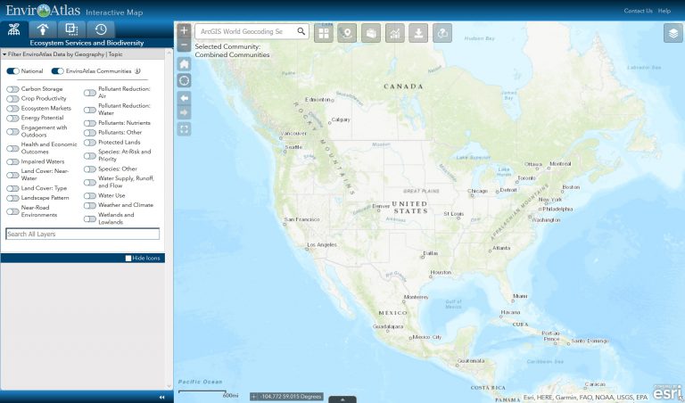
EnviroAtlas is designed for staff from all levels of government, environmental and public health professionals, researchers, educators, non-governmental organizations, and anyone else with an interest in ecosystem services...
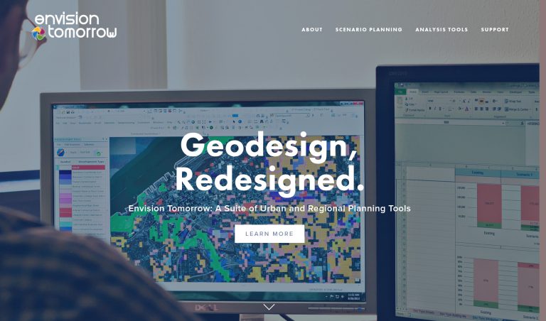
Envision Tomorrow (ET) is an open-access scenario planning package that allows users to analyze how their community’s current growth pattern and future decisions impacting growth will impact a range of measures from public...
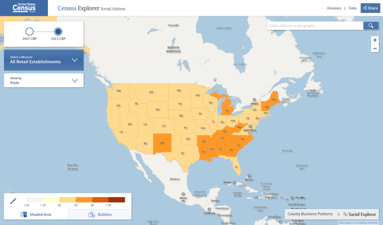
Census Explorer is the U.S. Census Bureau’s interactive map series, including Young Adults: Then and Now Edition; Population Estimate Edition; People, Education, and Income Edition; and Commuting Edition.