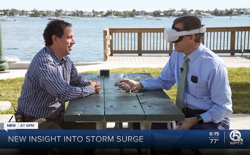
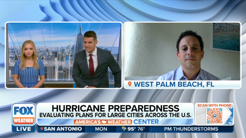
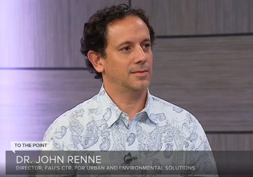
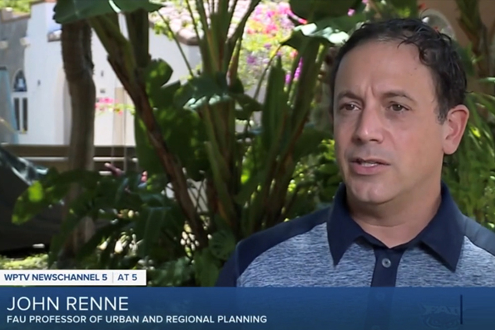
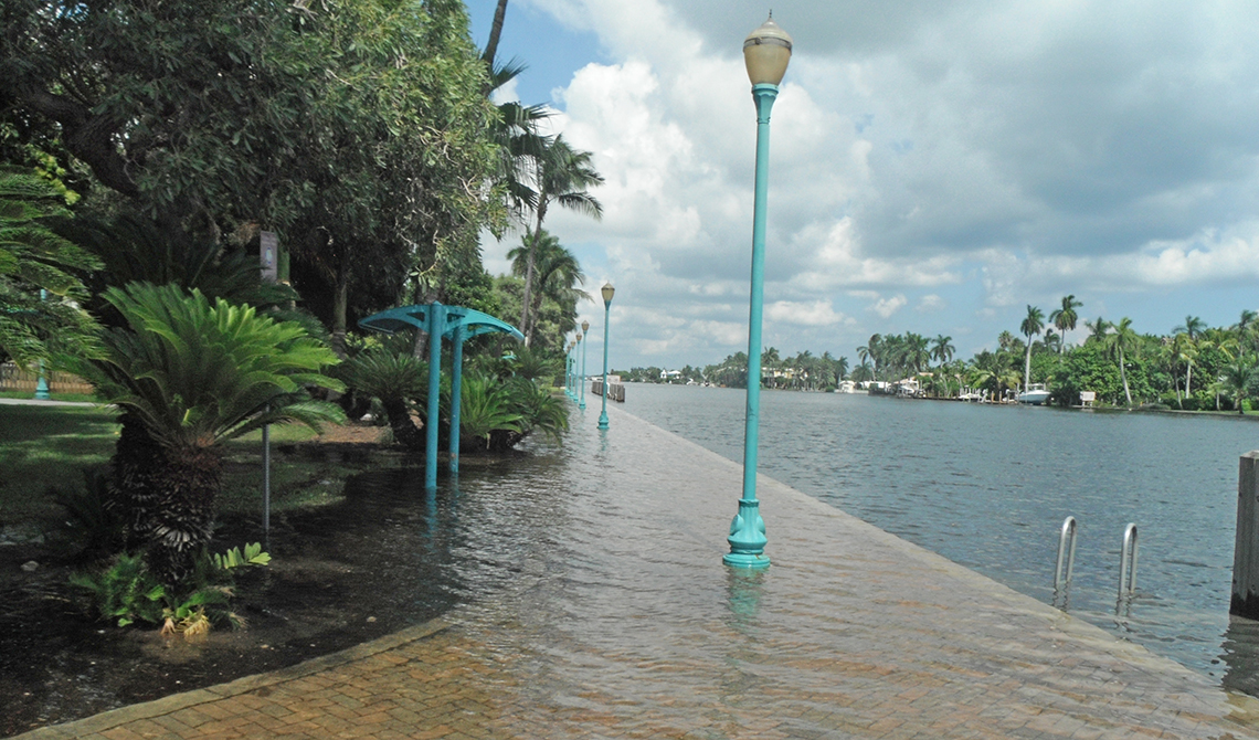
John Renne, Ph.D., director of the Center of Urban and Environmental Solutions, featured on WPTV to showcase the center’s sea level rise and hurricane impact study and virtual simulation on the city of West Palm Beach.
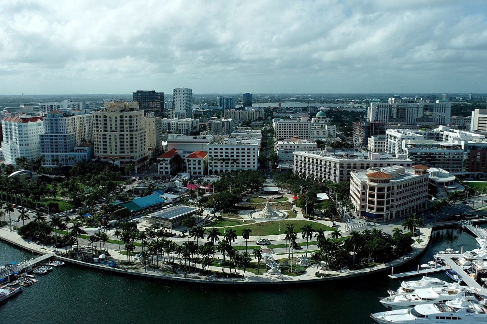
The measurable changes in sea-level rise – and the scientific projections of its increase within the next 30 years – present immense challenges to our notions of living and continuing to develop in South Florida’s flood...
The measurable changes in sea-level rise – and the scientific projections of its increase within the next 30 years – present immense challenges to our notions of living and continuing to develop in South Florida’s flood...
The measurable changes in sea-level rise – and the scientific projections of its increase within the next 30 years – present immense challenges to our notions of living and continuing to develop in South Florida’s flood...
The new Engineering Research Center for Smart Streetscapes (CS3) will be supported for five years with $26 million; renewable for an additional five years, for a total of up to $52 million. The ERC program is NSF’s flagship...

In "The Rail Theory of Everything" part two, John Renne, Ph.D., comments on the "jobs/housing balance" of transit-oriented development. The article by Sean Keyes appeared on 3/24/22 in The Currency an online publication...
The National Science Foundation awarded a team of researchers from Florida Atlantic University, University of Miami, Texas A&M, and Louisiana State University $149,577 to create an interdisciplinary research network to address...
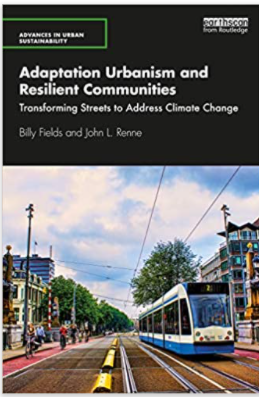
Rethinking street space offers an opportunity to tie climate mitigation and climate adaptation together to accomplish multiple community goals. The Taylor & Francis’ Sustainable Development Goals (SDGs) Online website now...
Researchers from the Department of Urban and Regional Planning are first to explore whether greater amounts of neighborhood open space and forest are associated with neighborhood-based walking in older adults.
A group of 14 Master of Urban and Regional Planning students, led by Louis A. Merlin, Ph.D., AICP, Assistant Professor of Urban and Regional Planning, were awarded the Outstanding Student Project Award from the Florida Chapter...