City of Fort Lauderdale Property Reporter GIS
Tuesday, Aug 25, 2020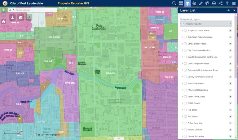
The City of Fort Lauderdale has provided this GIS feature as a public information resource. Users can search with an address or use the smart search to identify parcels. The “Layer List” provides data on Property Details, Planning and Community Development, and Administrative/Regulatory.
Link: http://gis.fortlauderdale.gov/propertyreporter/