The Indian River Lagoon Observatory Network of Environmental Sensors (IRLON)
IRLO research and education activities are being enhanced by the deployment of an estuarine observation network of land/ocean biogeochemical observatory (LOBO) units and weather sensors to provide real-time, high-accuracy and high-resolution water quality/weather data through a dedicated interactive website of IRLO research and education activities .
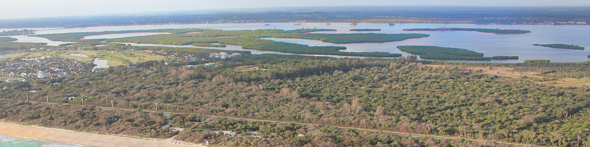
We have ten IRLON sites in the Indian River Lagoon (IRL) and St. Lucie Estuary (SLE). Four sites in Indian River County and St. Lucie County are made possible by funding from FAU Harbor Branch , a grant from the Harbor Branch Oceanographic Institute Foundation , and grants from Florida's Save Our Seas specialty license plate. Five sites in the St. Lucie Estuary (SLE) and nearby IRL are funded by the 2014 State Legislative Budget through the Florida Department of Environmental Protection (FDEP ). A tenth site, made possible by the South Florida Water Management District, is located in the SLE near the St. Lucie (C-44) Canal. All of these sites are ecologically important because of the dynamic interface between oceanic water from the inlets with freshwater inputs from rivers, canals, and Lake Okeechobee.
This strategic placement of the units at ten sites in the IRL and SLE was determined following a technical workshop with interested stakeholders comprising the Indian River Lagoon Observatory’s Science and Technology Advisory Committee, with representatives from Indian River, St. Lucie, and Martin counties; agencies: South Florida Water Management District, St. Johns River Water Management District, FDEP, and Florida Fish and Wildlife Conservation Commission; organizations: IRL National Estuary Program, Smithsonian Marine Station at Fort Pierce, Florida Oceanographic Society, and Ocean Research and Conservation Association; other universities: Florida Institute of Technology and University of Florida; and other interested stakeholders. The resulting plan is available here. Information on our SLE network, supported through FDEP, is available here.
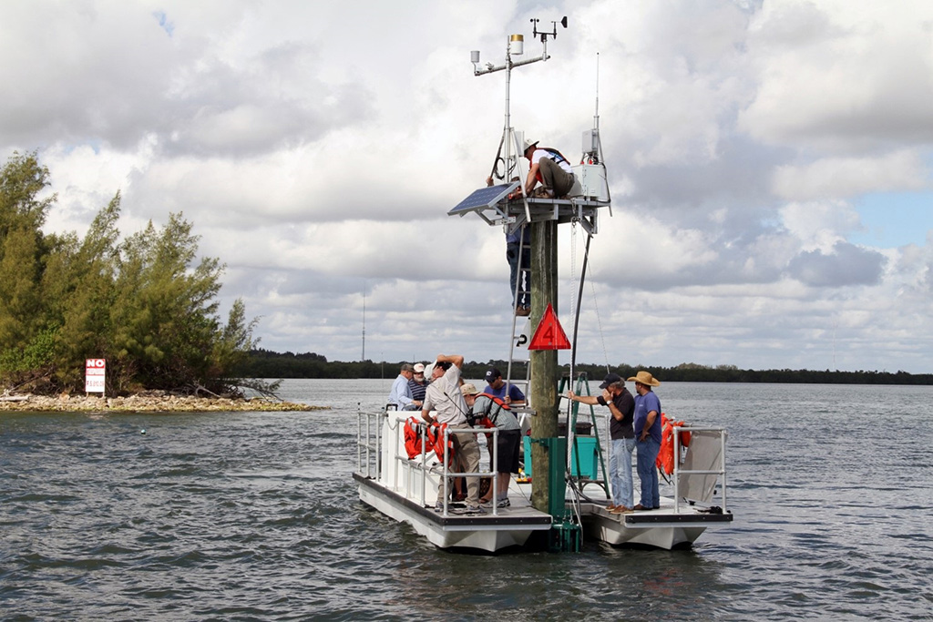
IRLON data complements our traditional monitoring techniques and greatly enhances data collection, synthesis and sharing. LOBO units provide real-time, high-accuracy and high-resolution water-quality data and archived data via a simple web-based interface to all who wish to access it. This network will provide researchers, governmental agencies, students, and the public the following benefits:
- Unprecedented IRL and SLE environmental data, with real-time access via publicly accessible website
- A framework for innovation in coastal and estuarine monitoring technology
- The ability of researchers to follow environmental changes in these estuaries
- Assistance to resource and planning managers to make informed decisions for the good of the IRL and SLE
- Modeling and correlation of environmental data to biological, chemical, and physical phenomena of the IRL and SLE
- A platform for education and outreach activities